
Barbados
Field Monograph
Terrain & Meteorological Dynamics · Barbados
Positioned in North America with its cultural and administrative heart in Bridgetown, Barbados is defined by Equatorial Maritime & Tropical Trade-Wind System (Am, Aw). Optimal seasonal travel unfolds during April, May, September, October, when temperatures range between 20°C and 36°C.
Situated in North America and centered on the capital city of Bridgetown, Barbados encompasses varied regional topography across Christ Church, Saint John, Saint George. Its atmospheric dynamics are governed by Equatorial Maritime & Tropical Trade-Wind System (Am, Aw), establishing distinct microclimates between low-lying corridors and elevated terrain.
Across the twelve-month cycle, temperatures move between 20°C and 36°C, reaching optimal stability during April, May, September, October. This seasonal window provides ideal visibility and comfort for exploring landmark destinations such as Garrison, Hickman's Beach, Blackbird Hill, Bruce Vale River.
Optimal photography and outdoor observation align with golden hour at 06:00 – 06:50 & 17:30 – 18:20 (Vibrant tropical amber and magenta reflections over calm waters), highlighted by warm oceanic trade breezes, luminous cumulus towers, and crystal-clear coral lagoon visibility. Field note: Passing 20-minute tropical convective sun-showers and seasonal intertropical convergence shifts. For a recommended 2-3-day journey, essential packing includes Ultra-breathable linen or moisture-wicking shirts, Reef-safe SPF 50+ sun protection, Polarized marine sunglasses, Ultralight packable rain poncho.
Seasonal Almanac
12-Month Climate Calendar for Barbados
Solar amber months represent optimal travel windows with stable atmospheric pressure, ideal temperatures, and high sunshine clarity.
Smart Packing & Hourly Itinerary for Barbados
Suggested duration: 2-3 daysGoWeather AI runs our 6-SKU NVIDIA Blackwell engine and 1.2km Chronos-120M sovereign weather mesh to calculate microclimates and recommended gear for Barbados:
Archival Field Plates
Archival Landscape Collection · Barbados
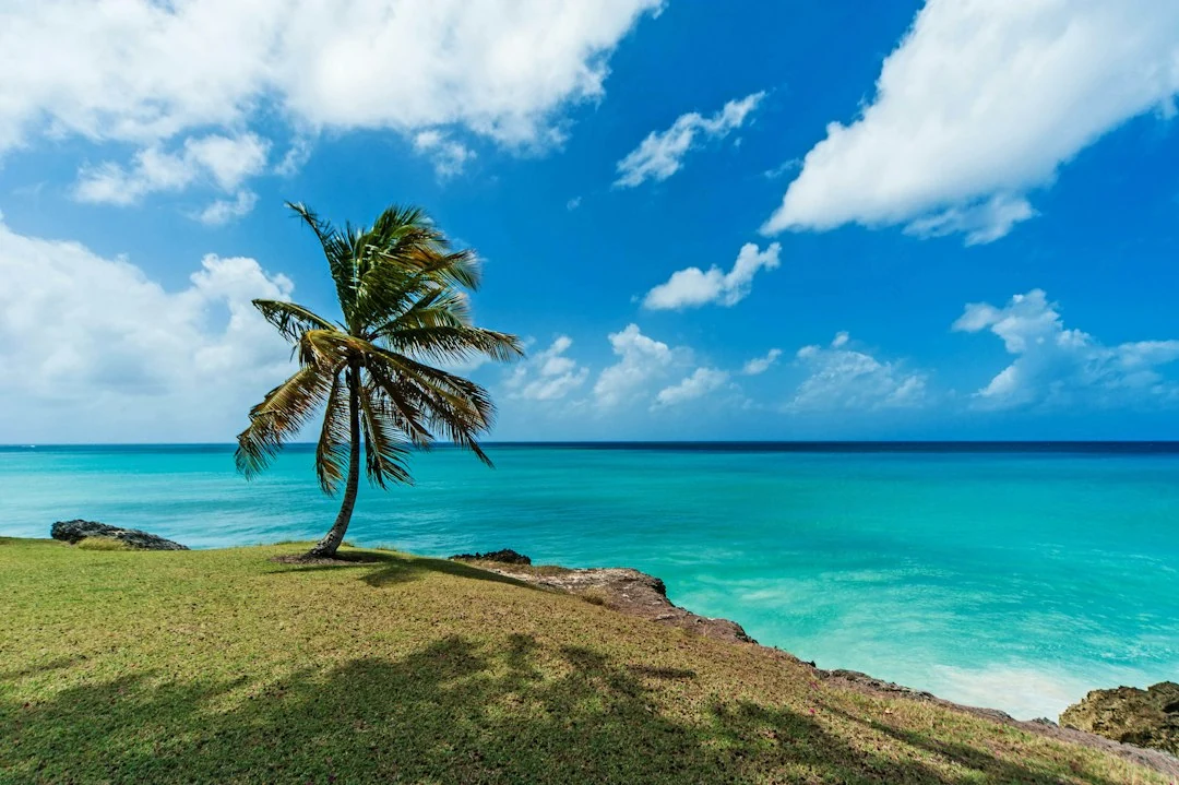
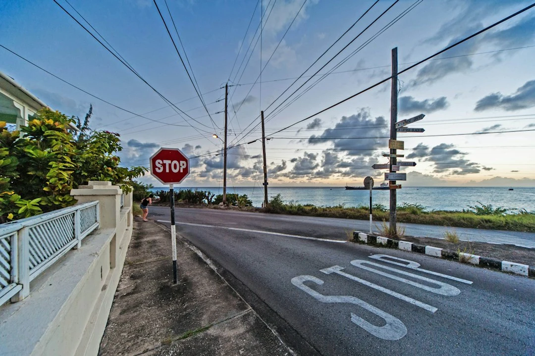
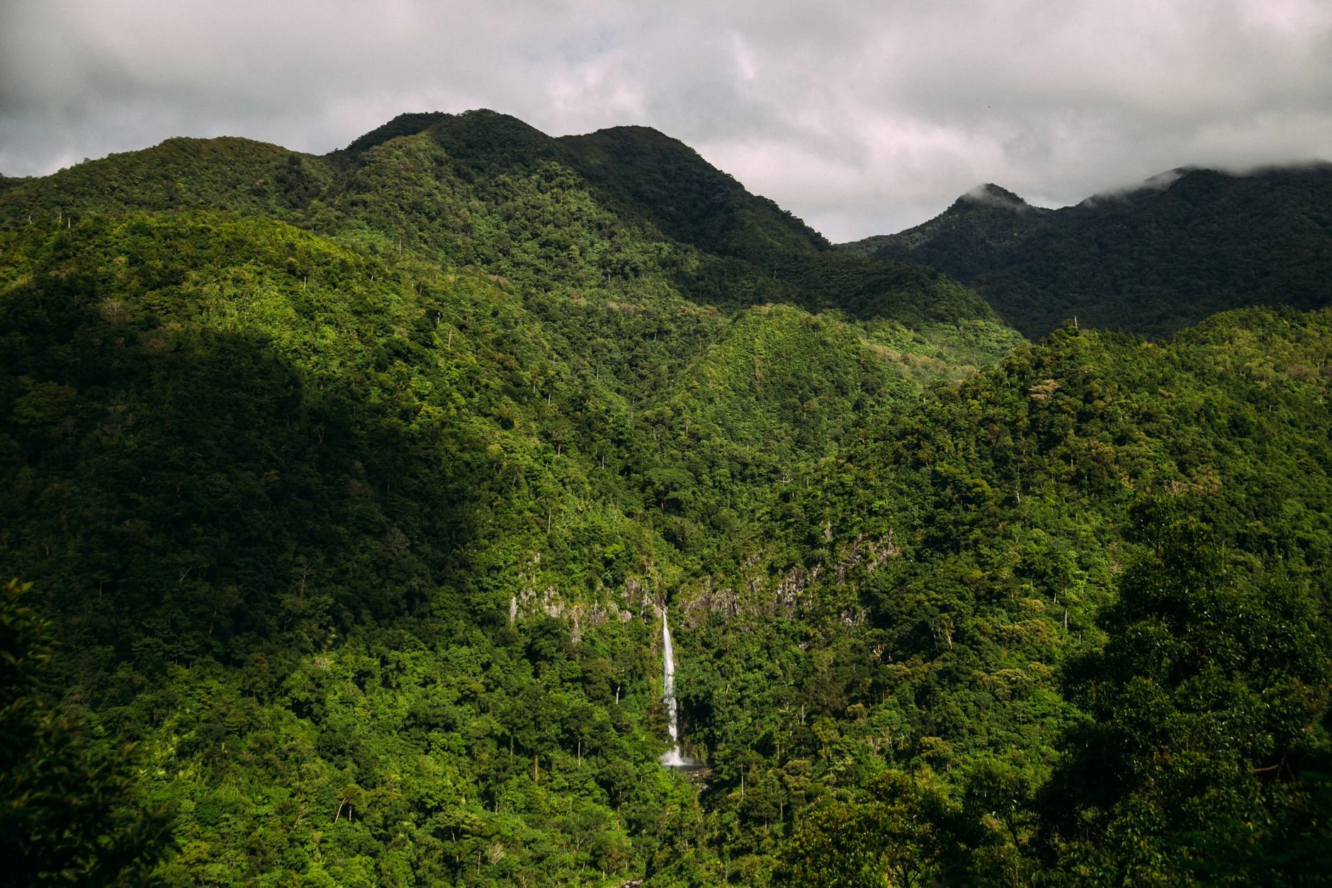
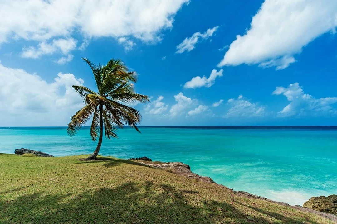
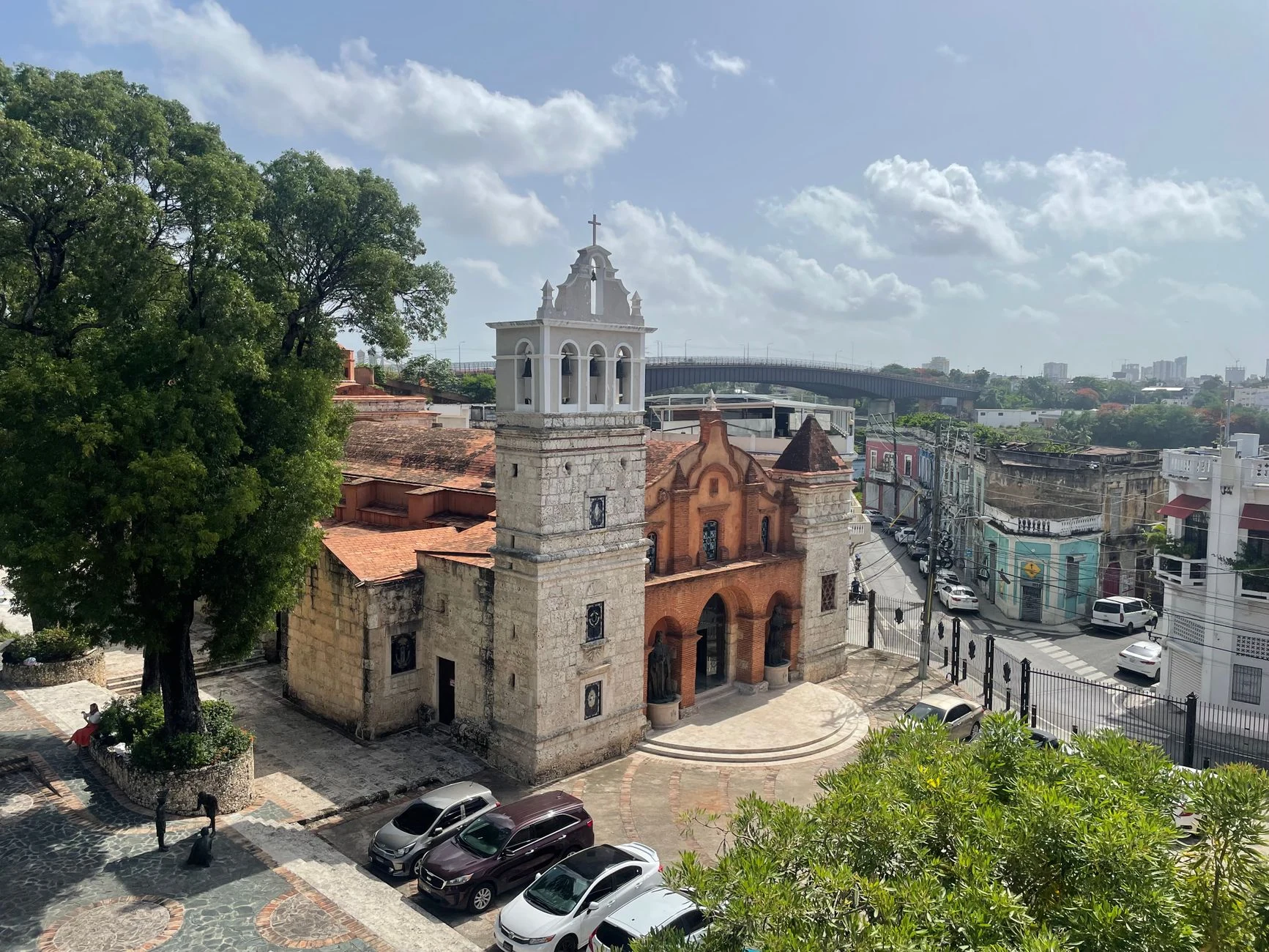
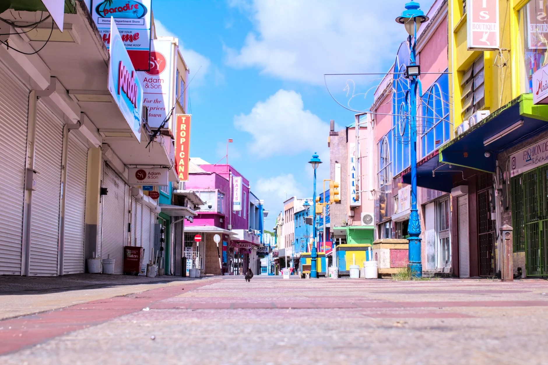
Curated photographic plates documenting the terrain, atmospheric transitions, and seasonal light across Barbados.
Localized Climate & Landmarks
Microclimate Regions & Iconic Landmarks in Barbados
Select any iconic region or landmark to instantly ask GoWeather AI about its localized microclimate and optimal photography timing.

Canada
OttawaPositioned in North America with its cultural and administrative heart in Ottawa, Canada is defined by Alpine Mountain & Humid Continental Four-Season System (Dfb, Dfc, ET). Optimal seasonal travel unfolds during April, May, September, October, when temperatures range between -8°C and 28°C.

Mexico
Mexico CityAnchored by Mexico City across the diverse landscapes of North America, Mexico experiences Tropical Monsoon & Dry-Winter Savanna System (Aw, BSh, BWh). The premier meteorological window spans April, May, September, October, offering an annual thermal envelope of 20°C to 36°C.

United States
WashingtonPositioned in North America with its cultural and administrative heart in Washington, United States is defined by Humid Subtropical & Four-Season Monsoon-Influenced System (Cfa, Dfa, BSk). Optimal seasonal travel unfolds during April, May, September, October, when temperatures range between 5°C and 34°C.

Anguilla
The ValleyAcross the geographic expanse of Anguilla in North America, Equatorial Maritime & Tropical Trade-Wind System (Aw) shapes daily atmospheric rhythms around The Valley and beyond. Travelers encounter the most balanced conditions in April, May, September, October, within a 20°C–36°C annual range.

Antigua & Barbuda
St. John'sPositioned in North America with its cultural and administrative heart in St. John's, Antigua & Barbuda is defined by Tropical Monsoon & Dry-Winter Savanna System (Aw). Optimal seasonal travel unfolds during April, May, September, October, when temperatures range between 20°C and 36°C.
Aruba
OranjestadPositioned in North America with its cultural and administrative heart in Oranjestad, Aruba is defined by Equatorial Maritime & Tropical Trade-Wind System (BSh). Optimal seasonal travel unfolds during April, May, September, October, when temperatures range between 10°C and 38°C.